Kerbala University Discussing a Course on the Use of GIS to choose the Locations of the Hospitals and Urgent Care Centers in Kerbala Cityfor the 40th visit of Imam Hussein
You Might Also Like
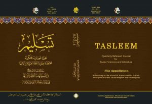
A teacher from Kerbala University Publishing a research in a Scientific Journal specialized in the Sciences of Arabic Language and Literature
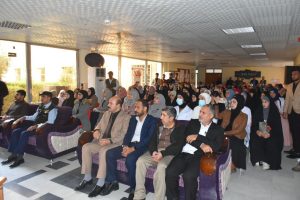
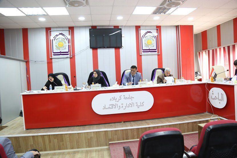
University of Kerbala Holds a Symposium on Global Experiences in Teaching Methods